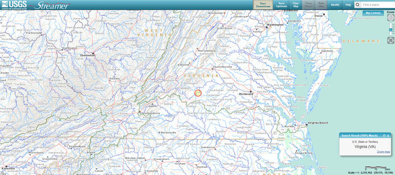
File:Virginia-Rivers-map terrain USGS.png

Size of this preview: 799 × 355 pixels. Other resolution: 1,904 × 846 pixels.
Original file (1,904 × 846 pixels, file size: 2.24 MB, MIME type: image/png)
USGS Virginia waterways w terrain, cities
File history
Click on a date/time to view the file as it appeared at that time.
| Date/Time | Thumbnail | Dimensions | User | Comment | |
|---|---|---|---|---|---|
| current | 14:12, 16 May 2024 | | 1,904 × 846 (2.24 MB) | Bromley (talk | contribs) |
You cannot overwrite this file.
File usage
The following page uses this file: