File:AppalachianLocatorMap2.png
No higher resolution available.
AppalachianLocatorMap2.png (637 × 424 pixels, file size: 84 KB, MIME type: image/png)

Summary
| Description |
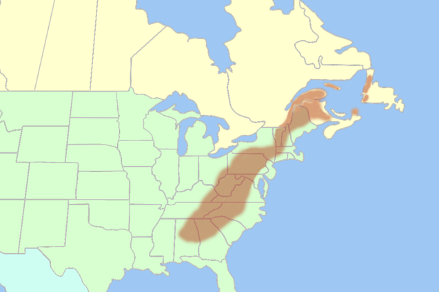
English: Inaccurate map of the Appalachian Mountains shown in the Eastern United States and Eastern Canada. |
| Date | 12 September 2007 (original upload date) |
| Source | Transferred from en.wikipedia to Commons. |
| Author | Lanma726 at English Wikipedia |
Licensing
| This work has been released into the public domain by its author, Lanma726 at English Wikipedia. This applies worldwide. In some countries this may not be legally possible; if so: Lanma726 grants anyone the right to use this work for any purpose, without any conditions, unless such conditions are required by law. |
Licensing
| I, the copyright holder of this work, release this work into the public domain. This applies worldwide. In some countries this may not be legally possible; if so: I grant anyone the right to use this work for any purpose, without any conditions, unless such conditions are required by law. |
| Annotations | This image is annotated: View the annotations at Commons |
File history
Click on a date/time to view the file as it appeared at that time.
| Date/Time | Thumbnail | Dimensions | User | Comment | |
|---|---|---|---|---|---|
| current | 21:03, 24 August 2017 | | 637 × 424 (84 KB) | wikimediacommons>YanikB | Add locations of mountains part of Appalachians. |
File usage
The following page uses this file: