File:ElTatio-CerroSoquete-2004.jpg

Size of this preview: 800 × 450 pixels. Other resolutions: 320 × 180 pixels | 640 × 360 pixels | 1,024 × 575 pixels | 1,600 × 899 pixels.
Original file (1,600 × 899 pixels, file size: 468 KB, MIME type: image/jpeg)
Summary
| Description |
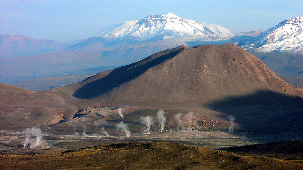
Deutsch: Geysirfeld El Tatio morgens beim Aufstieg zum Cerro Soquete English: El Tatio geysers as seen in the morning from Cerro Soquete Español: Géiseres El Tatio visto desde Cerro Soquete |
| Date | |
| Source | Own work |
| Author | Albert Backer |
| Camera location | | View this and other nearby images on: OpenStreetMap |
|---|
Licensing
I, the copyright holder of this work, hereby publish it under the following license:
This file is licensed under the Creative Commons Attribution-Share Alike 3.0 Unported license.
- You are free:
- to share – to copy, distribute and transmit the work
- to remix – to adapt the work
- Under the following conditions:
- attribution – You must give appropriate credit, provide a link to the license, and indicate if changes were made. You may do so in any reasonable manner, but not in any way that suggests the licensor endorses you or your use.
- share alike – If you remix, transform, or build upon the material, you must distribute your contributions under the same or compatible license as the original.
File history
Click on a date/time to view the file as it appeared at that time.
| Date/Time | Thumbnail | Dimensions | User | Comment | |
|---|---|---|---|---|---|
| current | 23:13, 18 March 2013 | | 1,600 × 899 (468 KB) | wikimediacommons>FatAlbert | User created page with UploadWizard |
File usage
The following page uses this file: