File list
This special page shows all uploaded files.
| Date | Name | Thumbnail | Size | User | Description | Versions |
|---|---|---|---|---|---|---|
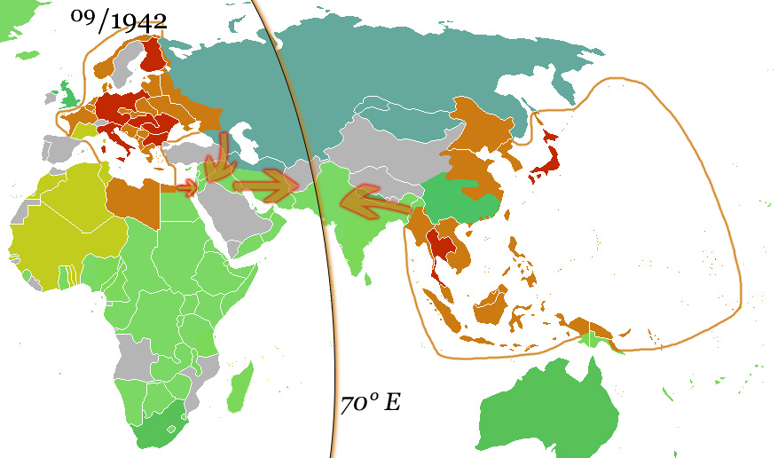
| 19:25, 5 June 2022 | German and Japanese spheres of influence at greatest extent World War II 1942.jpg (file) |  |
172 KB | Bromley | 1 | |
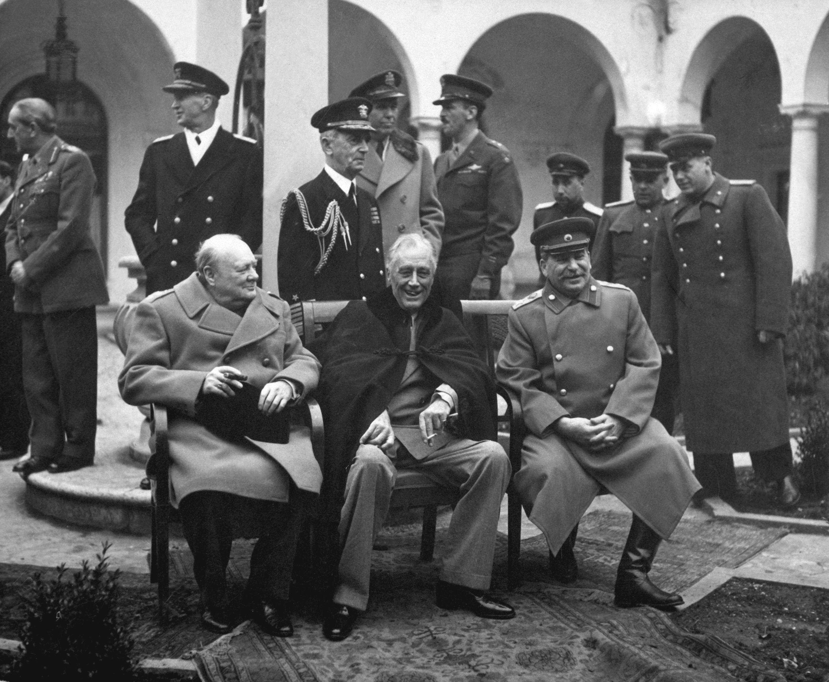
| 17:15, 5 June 2022 | Yalta Conference (Churchill, Roosevelt, Stalin) (B&W).jpg (file) | _(B%26W).jpg) |
1 MB | Bromley | 1 | |
| 17:14, 5 June 2022 | World War II Casualties.svg (file) |  |
1.91 MB | Bromley | 1 | |
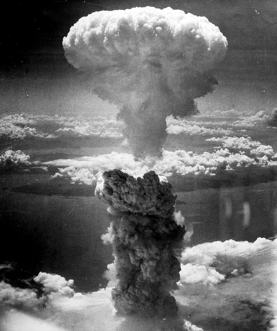
| 17:14, 5 June 2022 | Nagasakibomb med.jpg (file) |  |
245 KB | Bromley | 1 | |
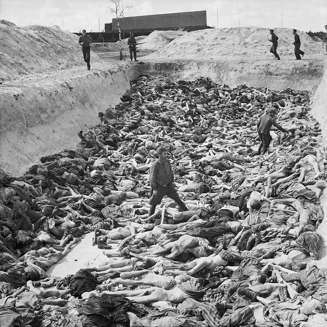
| 17:13, 5 June 2022 | Mass Grave at Bergen-Belsen concentration camp - Fritz Klein - IWM BU4260 med.jpg (file) |  |
466 KB | Bromley | 1 | |
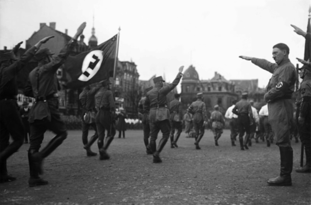
| 17:13, 5 June 2022 | Hitler saluting the SA med.png (file) |  |
169 KB | Bromley | 1 | |
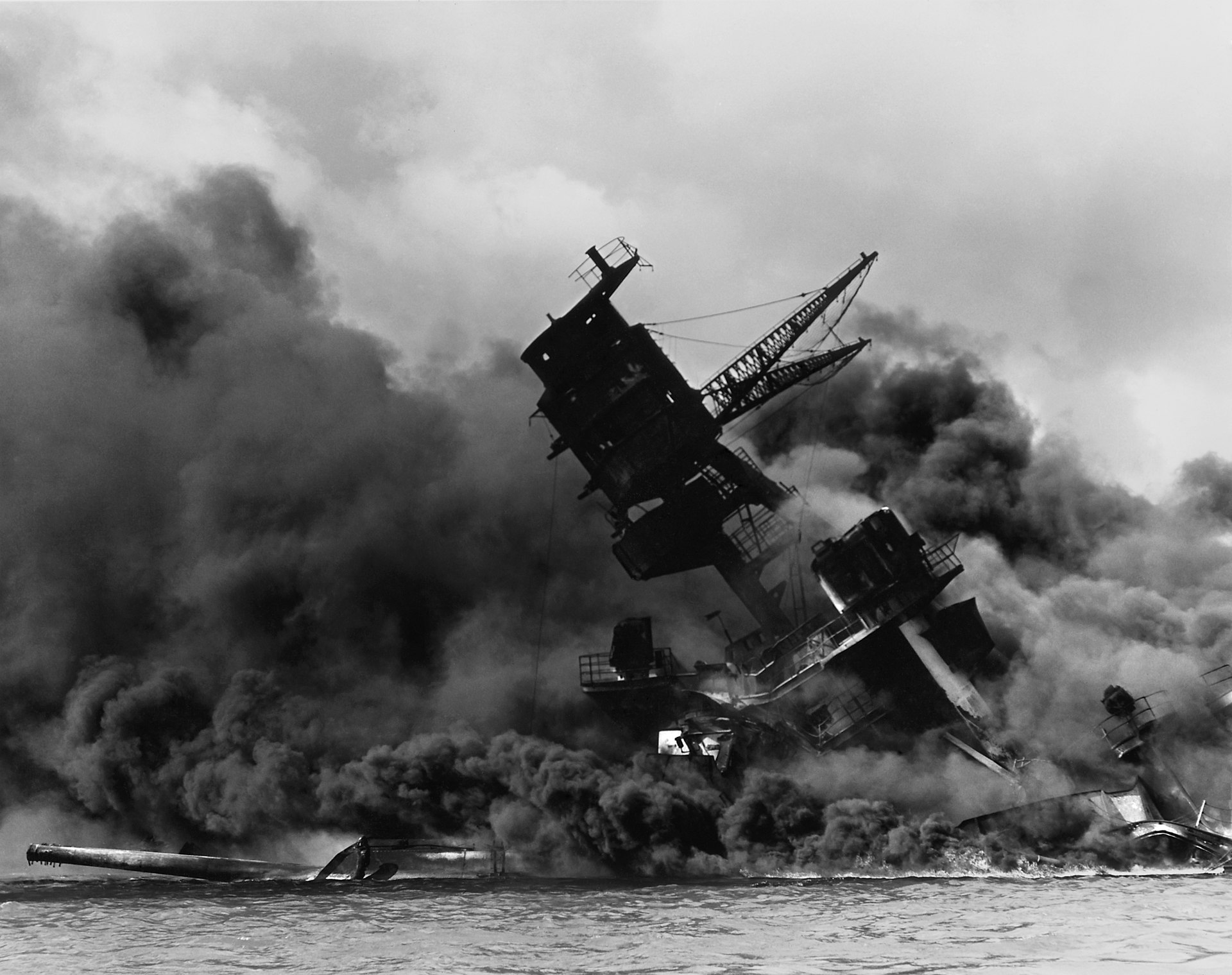
| 17:11, 5 June 2022 | 1941 Pearl-Harbor USS Arizona (BB-39) burning after the Japanese attack on Pearl Harbor - NARA 195617 - Edit.jpg (file) | _burning_after_the_Japanese_attack_on_Pearl_Harbor_-_NARA_195617_-_Edit.jpg) |
373 KB | Bromley | 1 | |
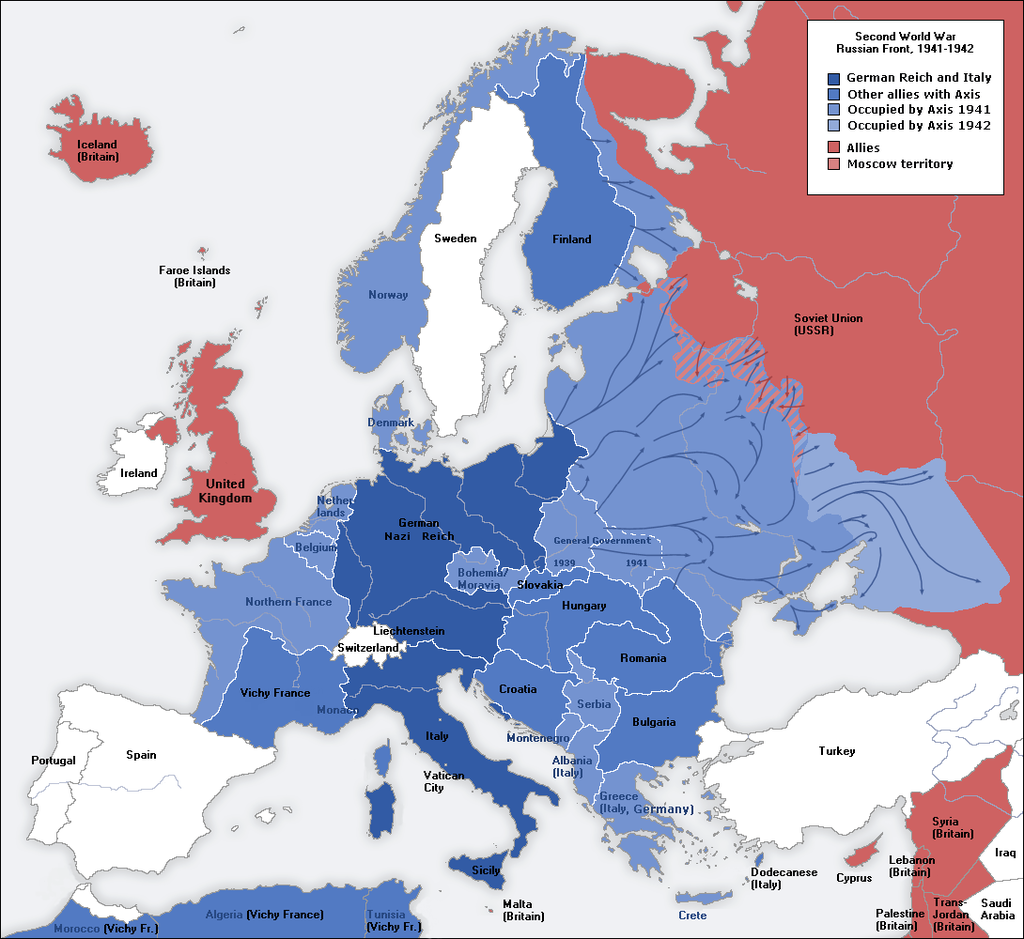
| 17:06, 5 June 2022 | Second world war europe 1941-1942 map en.png (file) |  |
547 KB | Bromley | 1 | |
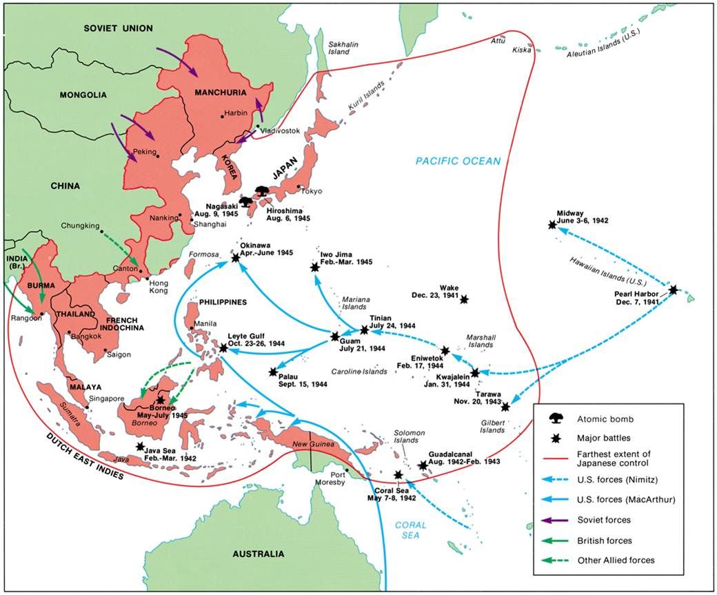
| 16:53, 5 June 2022 | World-War-II-Pacific.jpg (file) |  |
109 KB | Bromley | File uploaded with MsUpload | 1 |
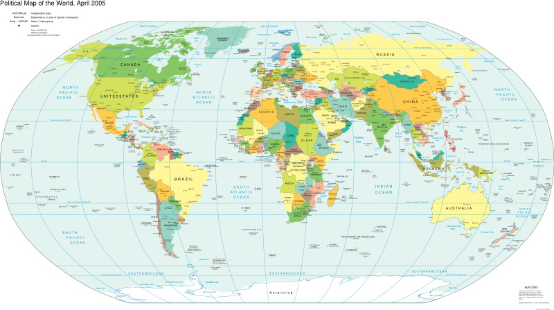
| 16:24, 5 June 2022 | World map pol 2005 v02.jpg (file) |  |
130 KB | Bromley | File uploaded with MsUpload | 1 |
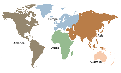
| 16:20, 5 June 2022 | Continents 5 continents.png (file) |  |
10 KB | Bromley | File uploaded with MsUpload | 1 |
| 16:14, 5 June 2022 | World Regions.jpg (file) |  |
130 KB | Bromley | File uploaded with MsUpload | 2 |
| 16:08, 5 June 2022 | Alliances-1914 Map Europe alliances 1914-en greyscale v02.svg (file) |  |
75 KB | Bromley | 1 | |
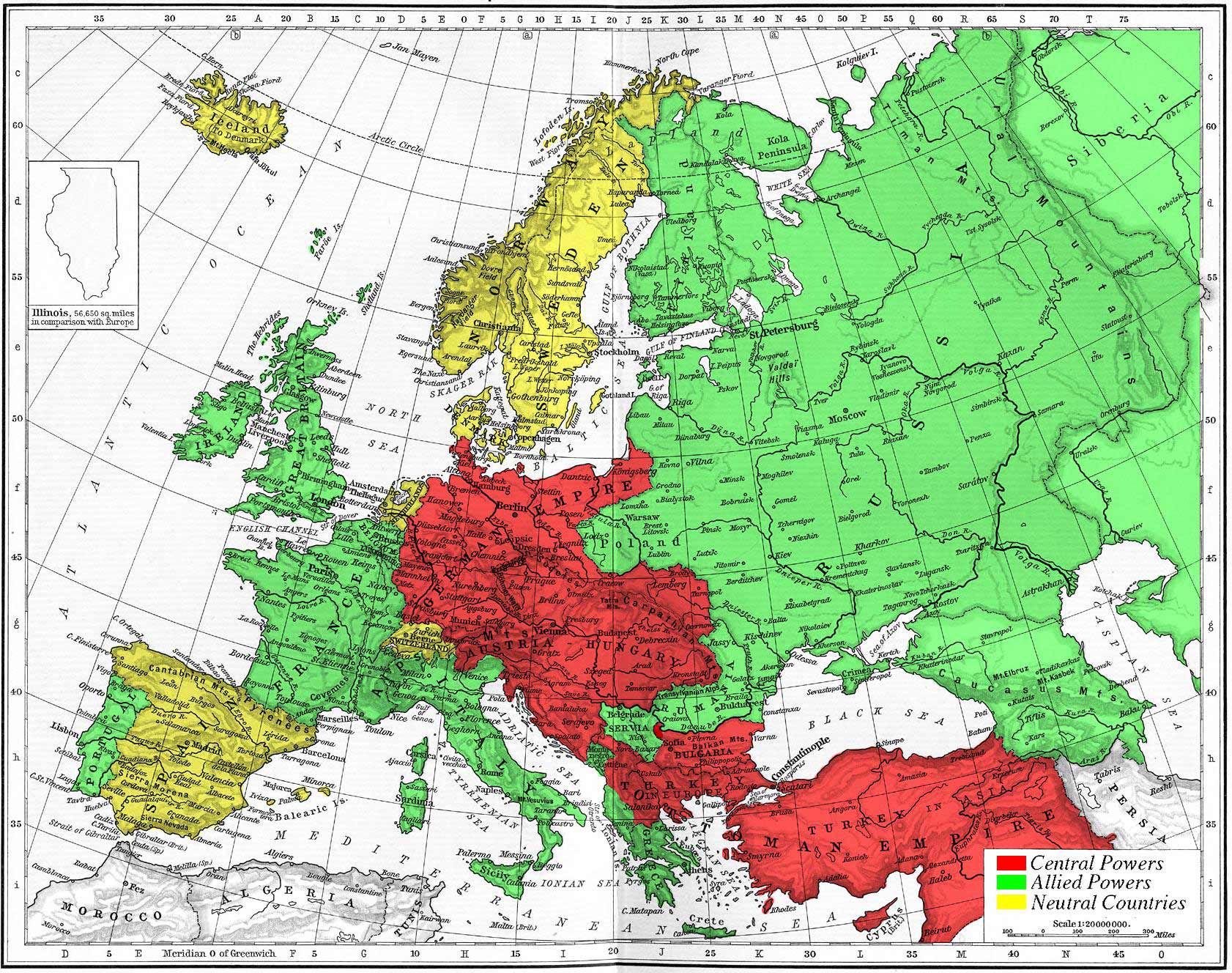
| 16:00, 5 June 2022 | Map-of-europe-wwi-red-green-yellow-throughout-wwi-map.jpg (file) |  |
498 KB | Bromley | 1 | |
| 15:48, 5 June 2022 | Map Europe alliances 1914-en.svg (file) |  |
97 KB | Bromley | 1 | |
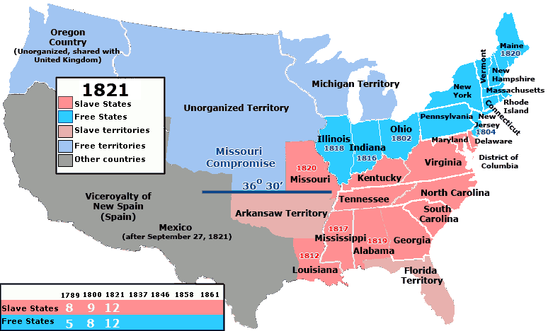
| 12:24, 1 June 2022 | 1821 Missouri Compromise US SlaveFree1821.gif (file) |  |
24 KB | Bromley | 36 30 line | 1 |
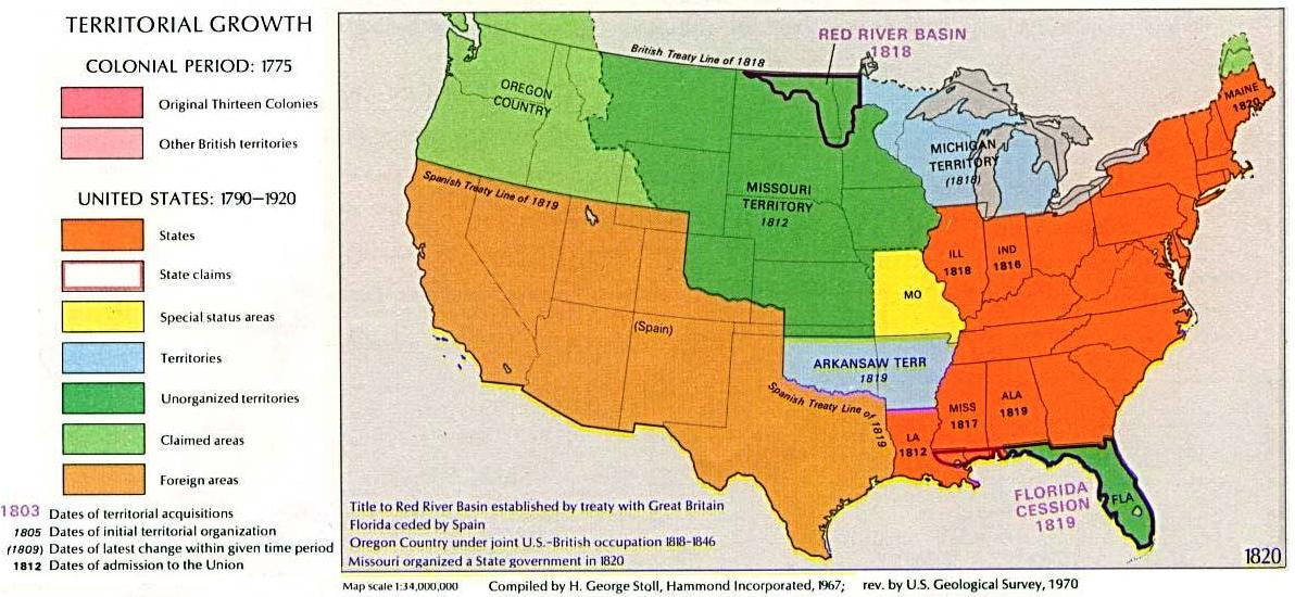
| 12:22, 1 June 2022 | 1819 USA Territorial Growth 1820 alt.jpg (file) |  |
131 KB | Bromley | 1819 | 1 |
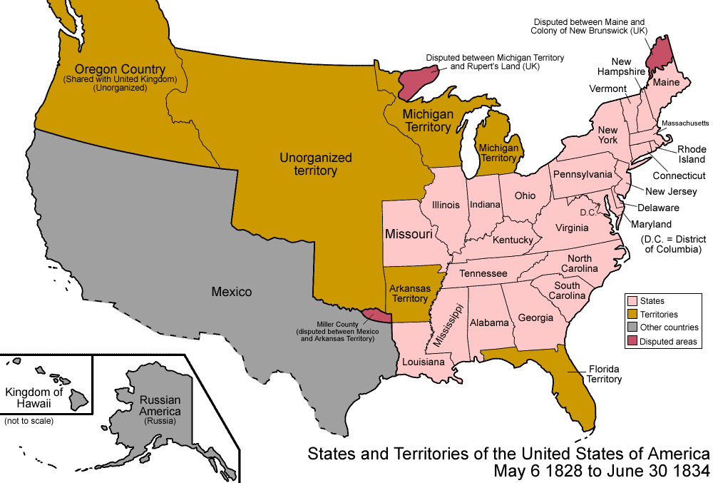
| 19:51, 31 May 2022 | 1828 United States 1828-1834.png (file) |  |
104 KB | Bromley | 1 | |
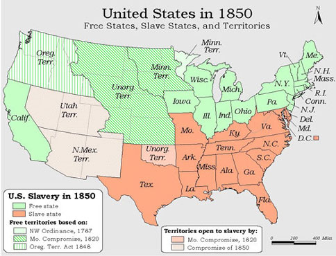
| 14:07, 31 May 2022 | 1850 US 1850 free-slave-states-map-of-usa.jpg (file) |  |
59 KB | Bromley | 1 | |
| 13:43, 31 May 2022 | 1836 United States 1836-06-1836-07.png (file) |  |
108 KB | Bromley | File uploaded with MsUpload | 1 |
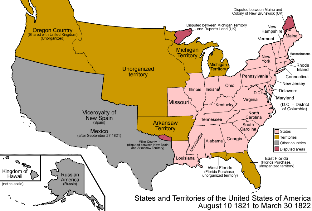
| 13:43, 31 May 2022 | 1821 United States 1821-08-1822.png (file) |  |
104 KB | Bromley | File uploaded with MsUpload | 2 |
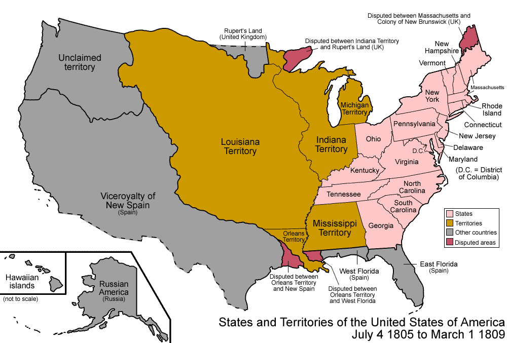
| 13:43, 31 May 2022 | 1805 United States 1805-07-1809.png (file) |  |
113 KB | Bromley | File uploaded with MsUpload | 2 |
| 13:43, 31 May 2022 | 1803 United States 1803-04-1804-03.png (file) |  |
105 KB | Bromley | File uploaded with MsUpload | 2 |
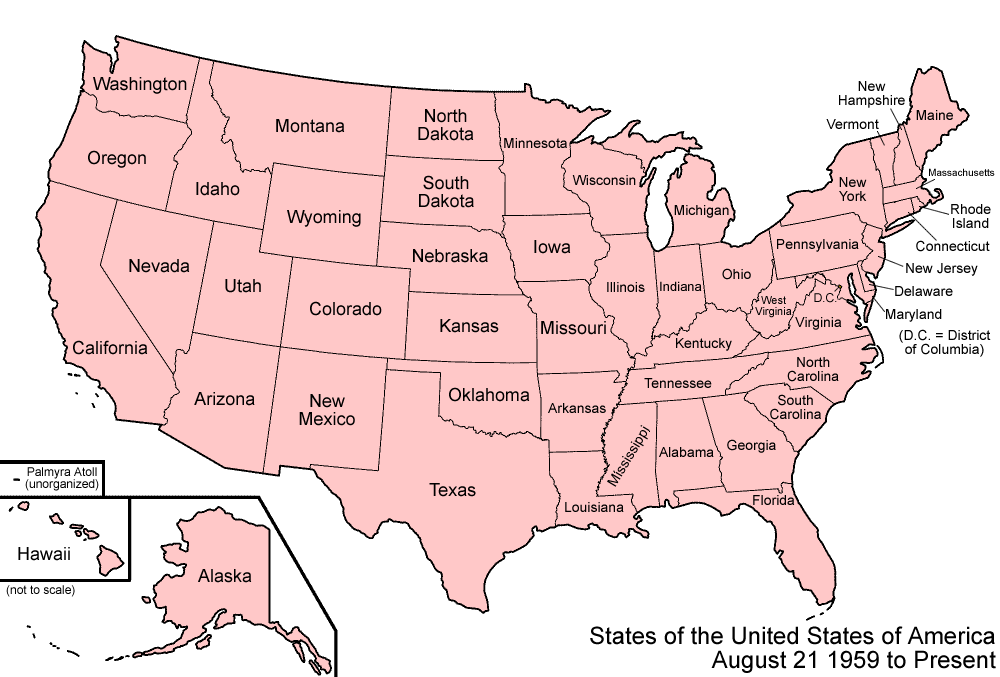
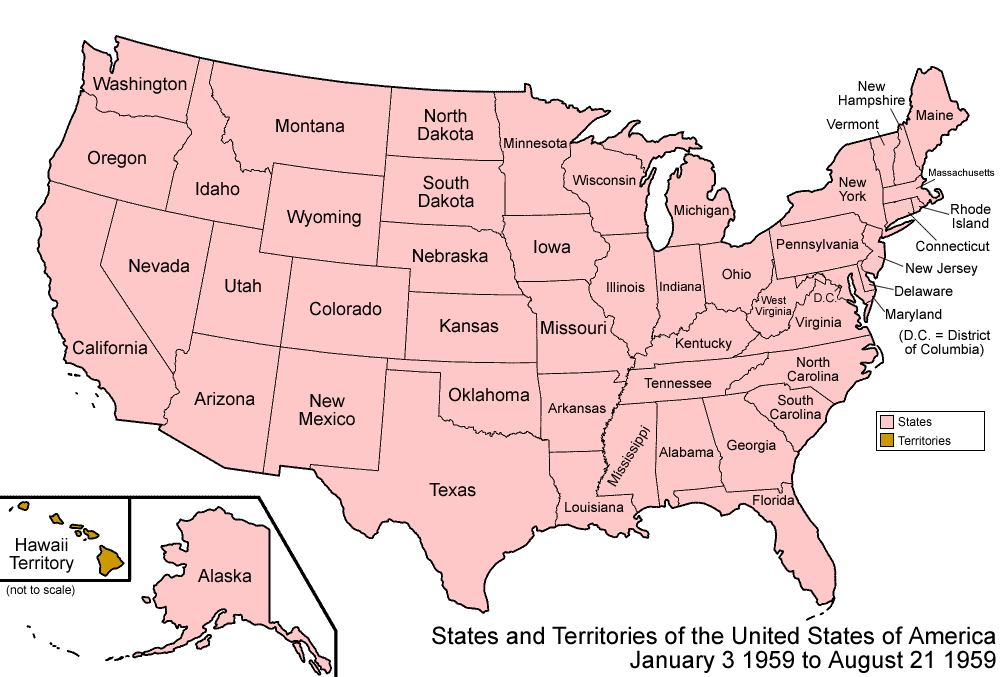
| 13:43, 31 May 2022 | 1959 United States 1959-01-1959-08.png (file) |  |
47 KB | Bromley | File uploaded with MsUpload | 1 |
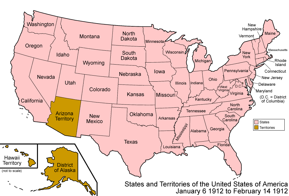
| 13:43, 31 May 2022 | 1912 United States 1912-01-1912-02.png (file) |  |
99 KB | Bromley | File uploaded with MsUpload | 1 |
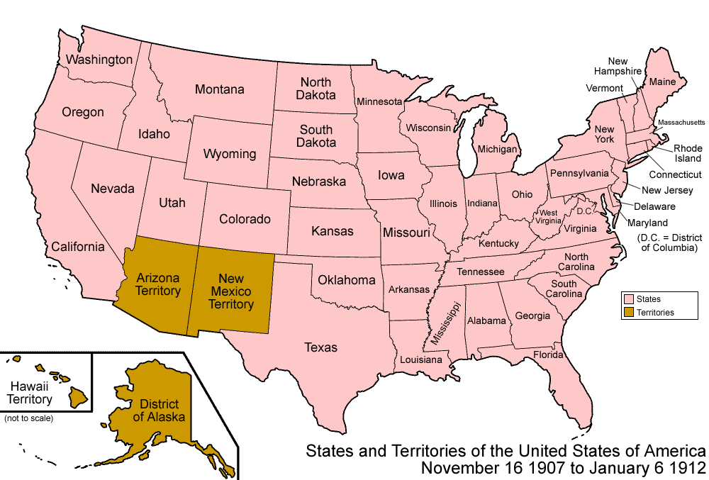
| 13:43, 31 May 2022 | 1907 United States 1907-1912-01.png (file) |  |
101 KB | Bromley | File uploaded with MsUpload | 1 |
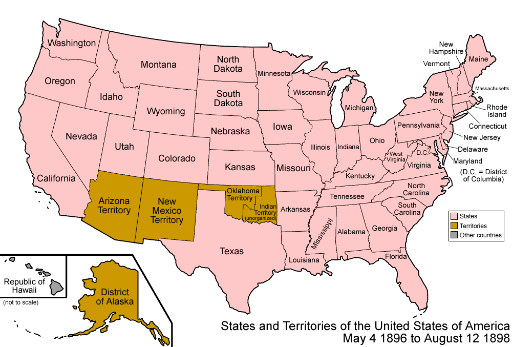
| 13:43, 31 May 2022 | 1896 United States 1896-05-1898.png (file) |  |
102 KB | Bromley | File uploaded with MsUpload | 1 |
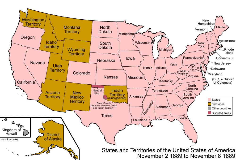
| 13:43, 31 May 2022 | 1889 United States 1889-11-02-1889-11-08.png (file) |  |
105 KB | Bromley | File uploaded with MsUpload | 1 |
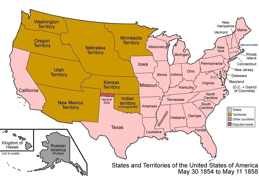
| 13:43, 31 May 2022 | 1854 United States 1854-1858.png (file) |  |
114 KB | Bromley | File uploaded with MsUpload | 1 |
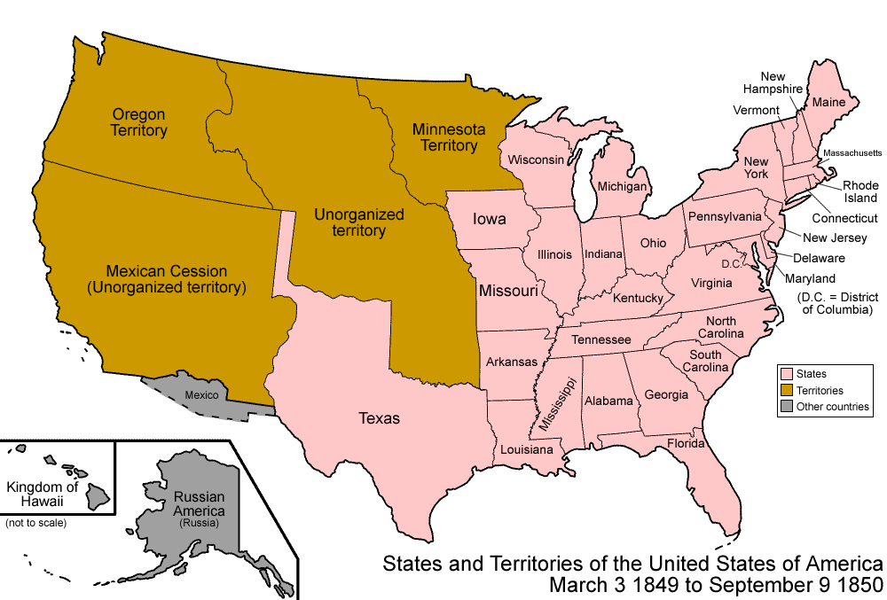
| 13:43, 31 May 2022 | 1849 United States 1849-1850.png (file) |  |
101 KB | Bromley | File uploaded with MsUpload | 1 |
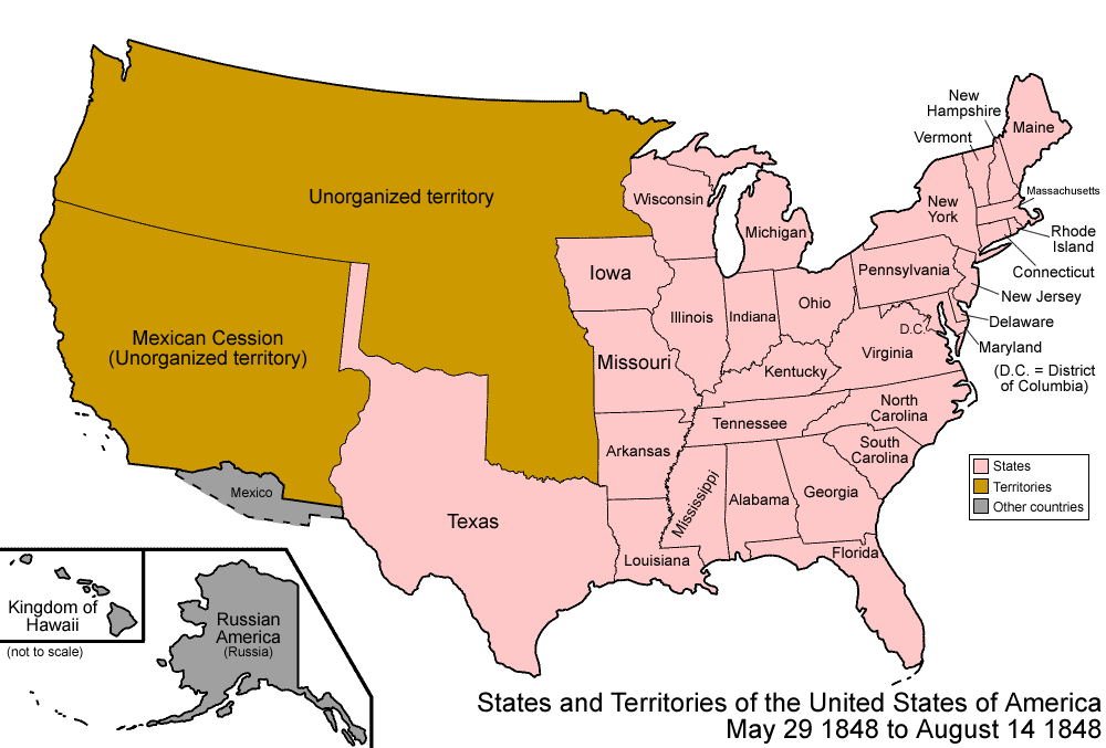
| 13:43, 31 May 2022 | 1848 United States 1848-05-1848-08.png (file) |  |
95 KB | Bromley | File uploaded with MsUpload | 1 |
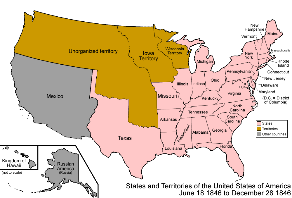
| 13:43, 31 May 2022 | 1846 United States 1846-06-1846-12.png (file) |  |
89 KB | Bromley | File uploaded with MsUpload | 1 |
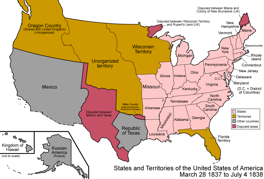
| 13:43, 31 May 2022 | 1837 United States 1837-03-1838.png (file) |  |
88 KB | Bromley | File uploaded with MsUpload | 1 |
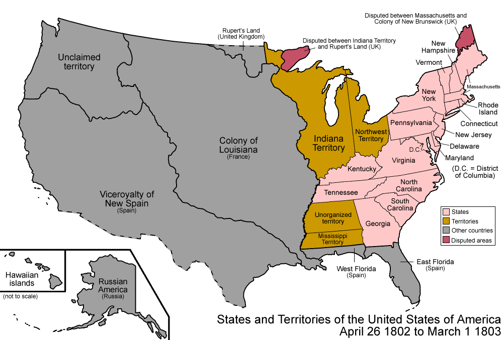
| 13:37, 31 May 2022 | 1802 United States 1802-1803-03.png (file) |  |
100 KB | Bromley | 1802 | 1 |
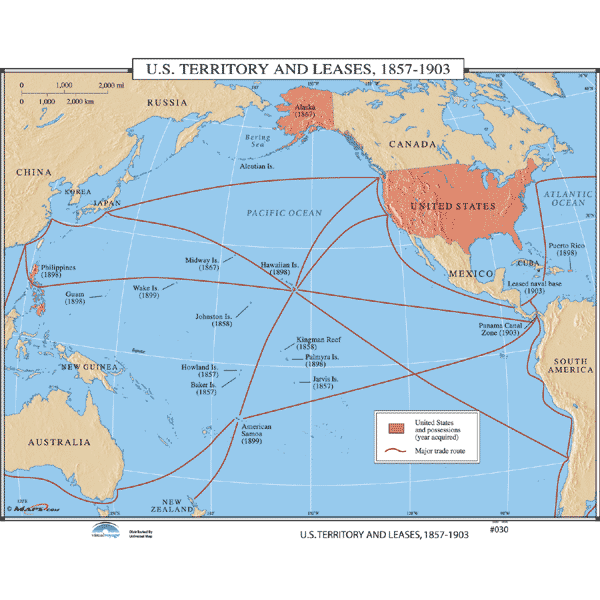
| 13:19, 31 May 2022 | 1857-1903 US Territories 30089 6.gif (file) |  |
62 KB | Bromley | 1 | |
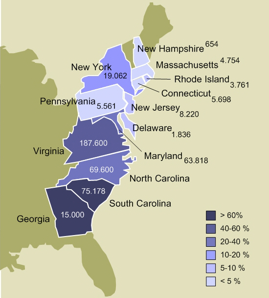
| 13:18, 31 May 2022 | 1770 Slavery in the 13 colonies.jpg (file) |  |
109 KB | Bromley | 1 | |
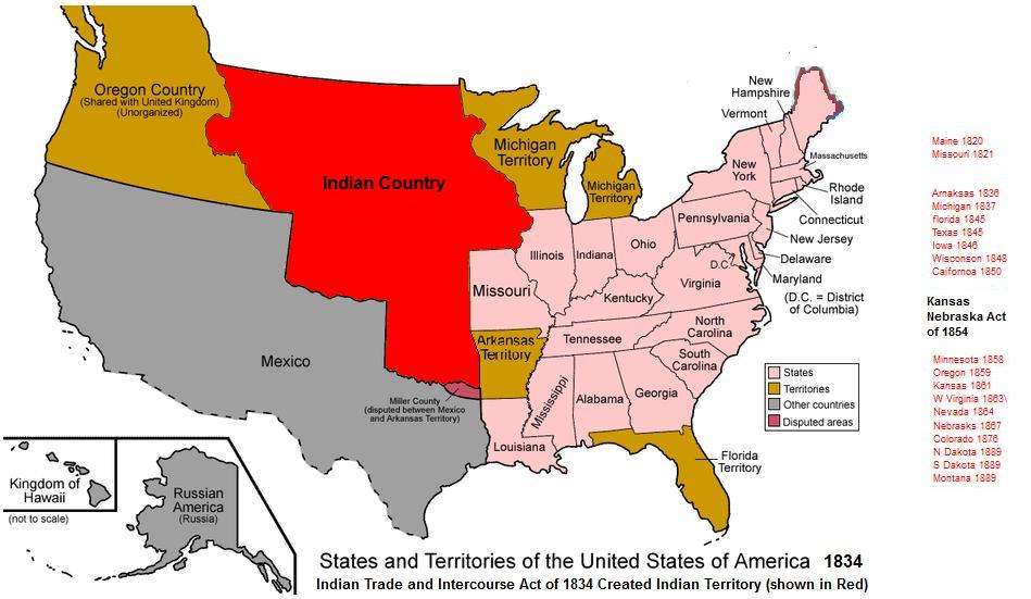
| 13:03, 31 May 2022 | 1834 Indian Country-Territory 1834.jpg (file) |  |
78 KB | Bromley | 1 | |
| 13:02, 31 May 2022 | 1820 USA Territorial Growth 1820 alt wiki Missouri-Compromise-1820.jpg (file) |  |
131 KB | Bromley | 1 | |
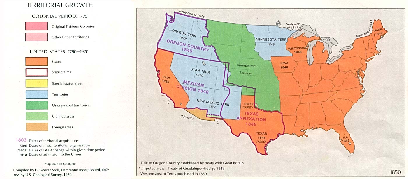
| 13:01, 31 May 2022 | 1850 USA Territorial Growth 1850.jpg (file) |  |
124 KB | Bromley | 1 | |
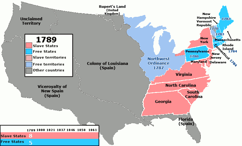
| 01:23, 31 May 2022 | 1789-1861 US Slave Free 1789-1861 animated) wiki.gif (file) | _wiki.gif) |
100 KB | Bromley | 1 | |
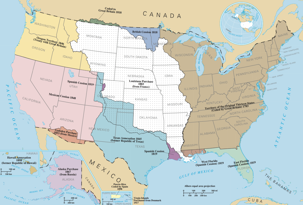
| 01:21, 31 May 2022 | 1790s-1800s-UnitedStatesExpansion.png (file) |  |
410 KB | Bromley | 1 | |
| 20:02, 30 May 2022 | 1702–1713 Queen-Annes-War before-map 1280px-QueenAnnesWarBefore.svg.png (file) |  |
260 KB | Bromley | European colonial possessions as of 1702, just before Queen Anne's War. After the war, Britain took the disputed territories of Newfoundland, Nova Scotia and Maine (wikipedia) | 1 |
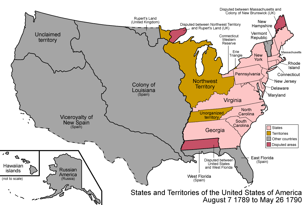
| 18:26, 30 May 2022 | 1789-1808 United States 1789-08-1790.png (file) |  |
48 KB | Bromley | Organization of the United States, along with designated "territories" (areas that belonged to the US but were not yet independent states) (wikipedia) | 1 |
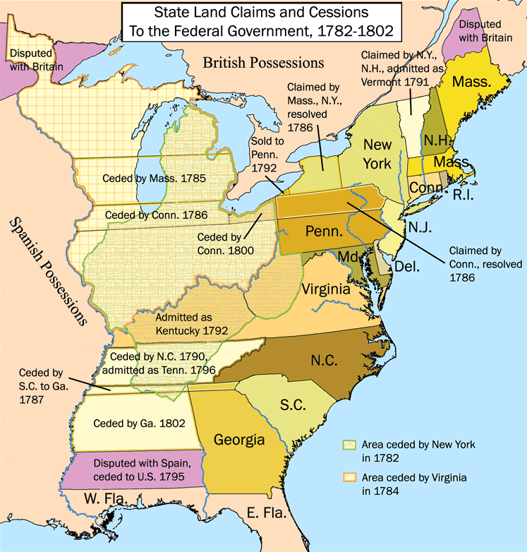
| 18:23, 30 May 2022 | 1782-1802 United States land claims and cessions 1782-1802.png (file) |  |
145 KB | Bromley | Territories of the United States after Independence (1783), as well as British Canada and Spanish Louisiana. The map shows the land claims of the thirteen states towards the west beyond the Appalachian Mountains (wikipedia) | 1 |
| 18:13, 30 May 2022 | 1775 Map Thirteen Colonies 1775.svg (file) |  |
325 KB | Bromley | Territories of the 13 English colonies, British-controlled "Indian Territories," and Spanish Louisiana, just before the American Revolution (1775) | 1 |
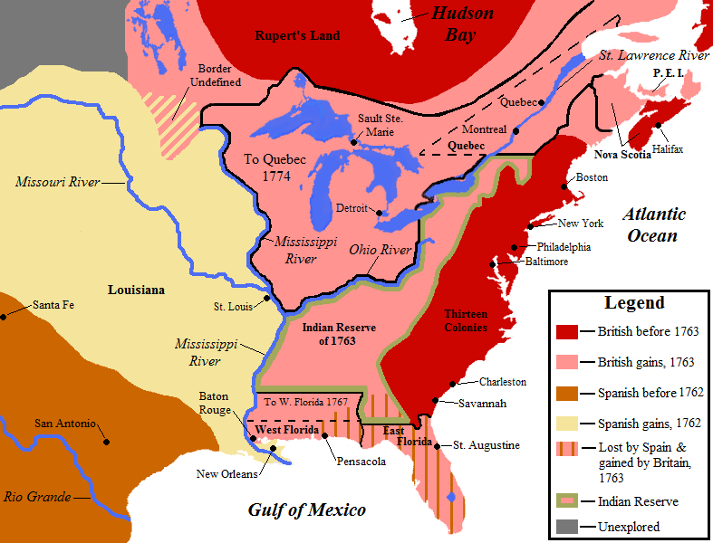
| 18:12, 30 May 2022 | 1762-1783 NorthAmerica1762-83.png (file) |  |
90 KB | Bromley | European colonies in North American following the realignment of territories after the French-Indian War (1754-1763) and before the end of the American Revolution (1783) | 1 |
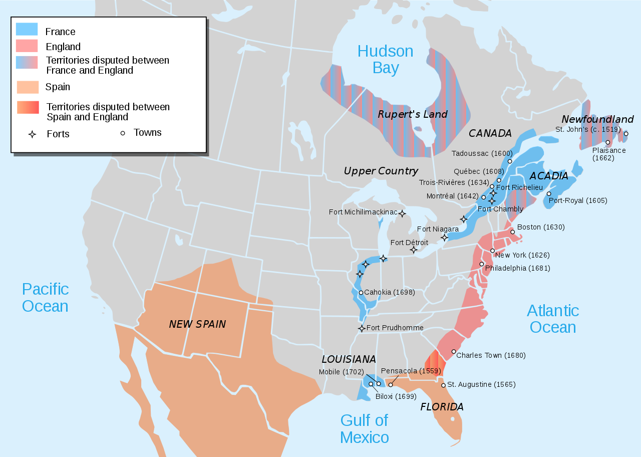
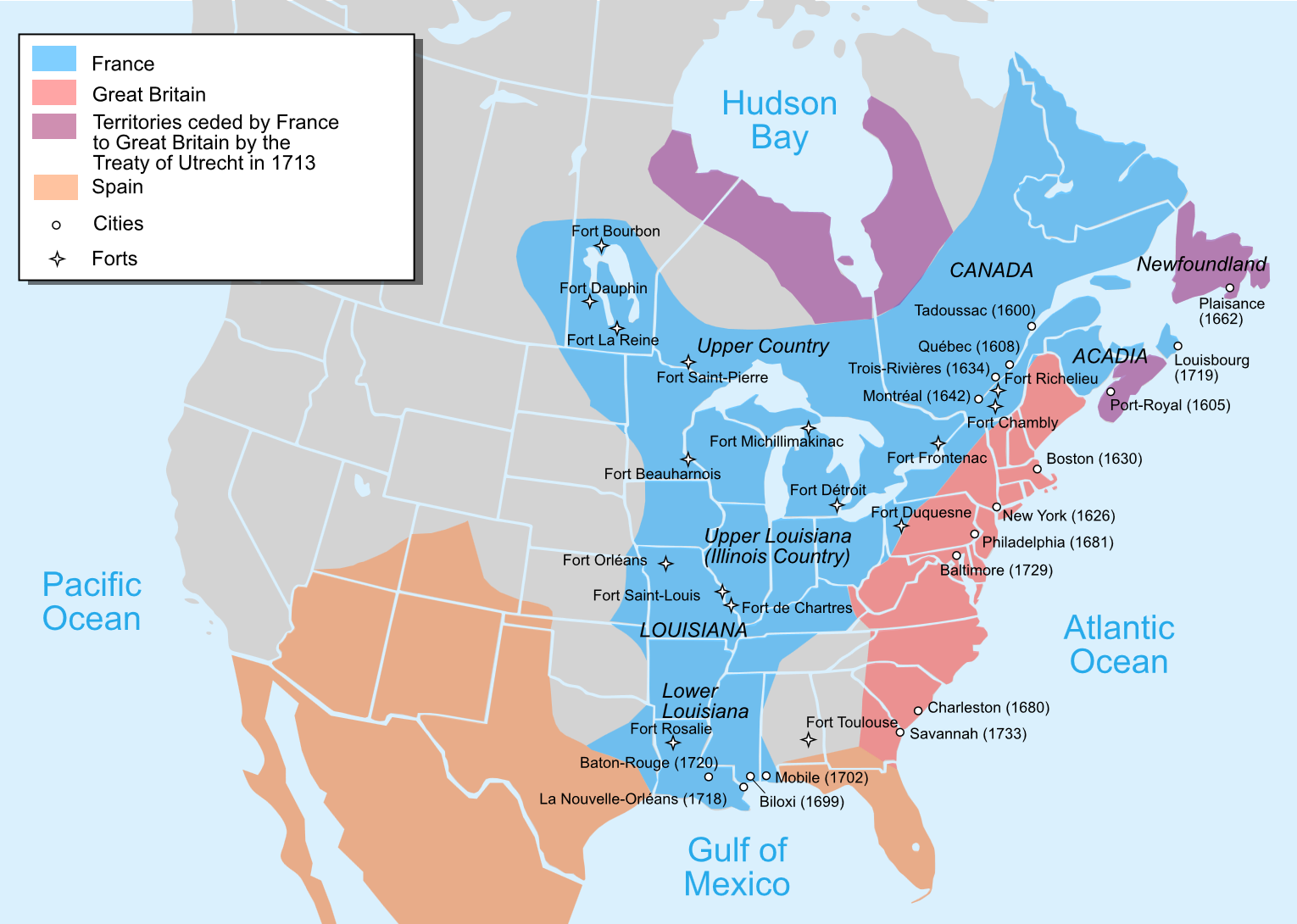
| 18:05, 30 May 2022 | 1754 French-Indian-War Nouvelle-France map-en.png (file) |  |
403 KB | Bromley | Map showing French possessions in North America just before the French-Indian War (1754) | 1 |
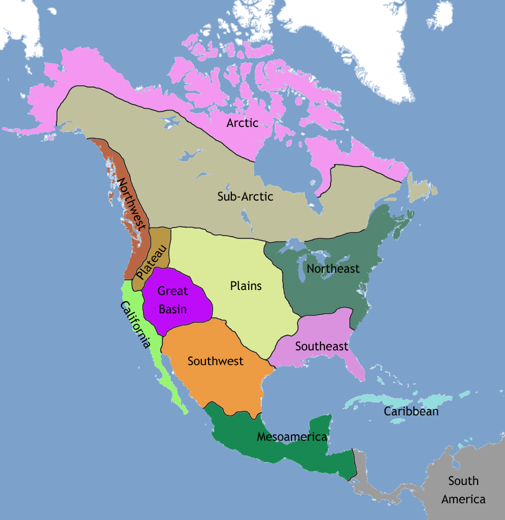
| 17:59, 30 May 2022 | NativeAmericanRegions map 1.jpg (file) |  |
407 KB | Bromley | A map of North America showing the regions of Native American cultures. (wikipedia) | 1 |
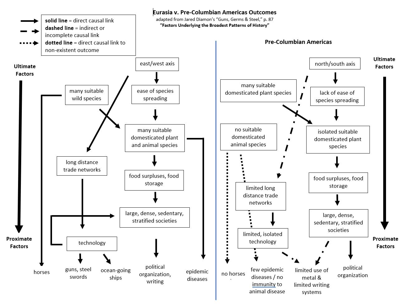
| 19:18, 27 May 2022 | GGS-ultimate-proximate-factors p87 w-Americas-added 2.jpg (file) |  |
158 KB | Bromley | 1 | |
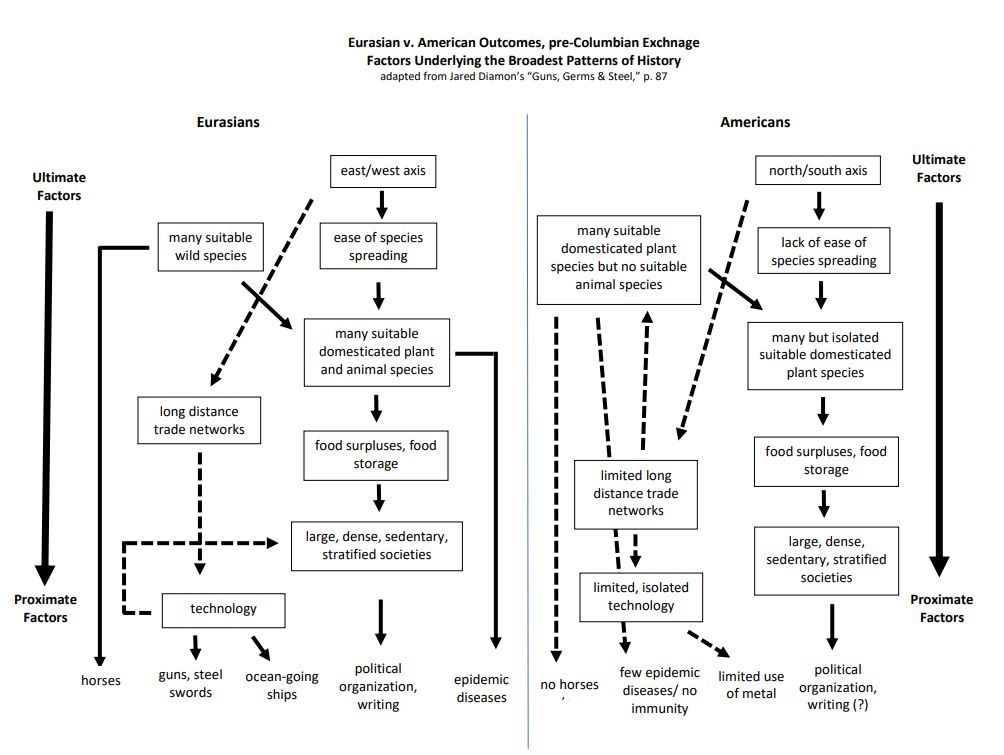
| 18:17, 10 May 2022 | GGS-ultimate-proximate-factors p87 w-Americas-added.jpg (file) |  |
104 KB | Bromley | 1 |