File:Devils Tower Darton 1900.jpg
Size of this preview: 437 × 599 pixels. Other resolutions: 175 × 240 pixels | 350 × 480 pixels | 1,021 × 1,400 pixels.
Original file (1,021 × 1,400 pixels, file size: 1.04 MB, MIME type: image/jpeg)
Summary
| Description |
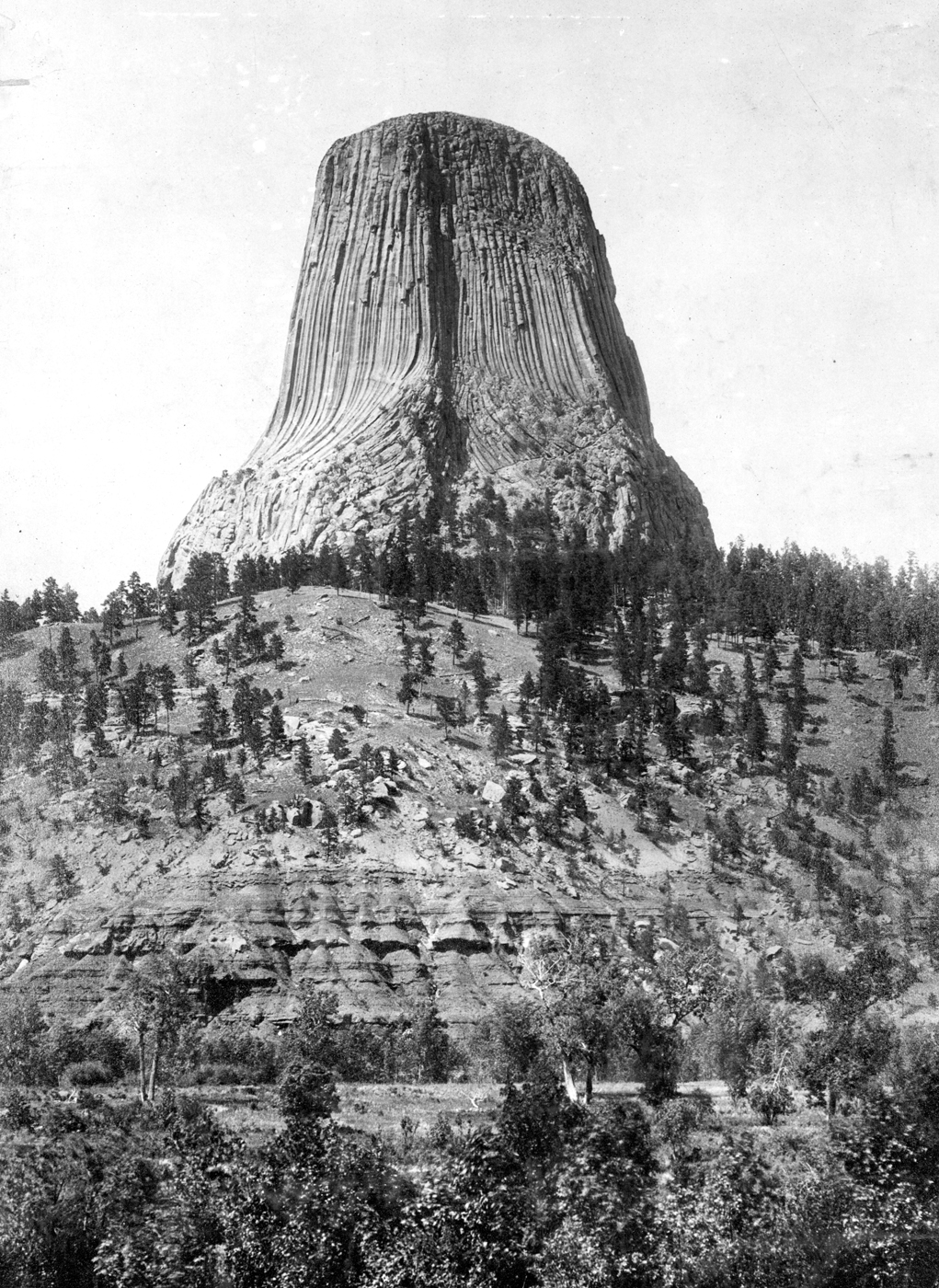
English: Devils Tower, on west bank of Belle Fourche River, south of Hulett. Crook Wyoming. Circa 1900. Plate 17, as Ives Three Color Process, in U.S. Geological Survey. Professional paper 32. 1905, figure 1 in U.S. Geological Survey. Folio 150. 1907. |
| Date | |
| Source | U.S. Geological Survey Photographic Library |
| Author | Nathaniel H. Darton |
| Camera location | | View this and other nearby images on: OpenStreetMap |
|---|
Licensing
This image is in the public domain in the United States because it only contains materials that originally came from the United States Geological Survey, an agency of the United States Department of the Interior. For more information, see the official USGS copyright policy.
|
File history
Click on a date/time to view the file as it appeared at that time.
| Date/Time | Thumbnail | Dimensions | User | Comment | |
|---|---|---|---|---|---|
| current | 03:47, 1 October 2010 | | 1,021 × 1,400 (1.04 MB) | wikimediacommons>Leaflet | {{Information |Description={{en|1=Devils Tower, on west bank of Belle Fourche River, south of Hulett. Crook Wyoming. Circa 1900. Plate 17, as Ives Three Color Process, in U.S. Geological Survey. Professional paper 32. 1905, figure 1 in U.S. Geological Sur |
File usage
The following page uses this file: